Coverage for Drone Mapping Operations
Structured around how aerial data is captured, processed, and delivered and how risk presents across that work.
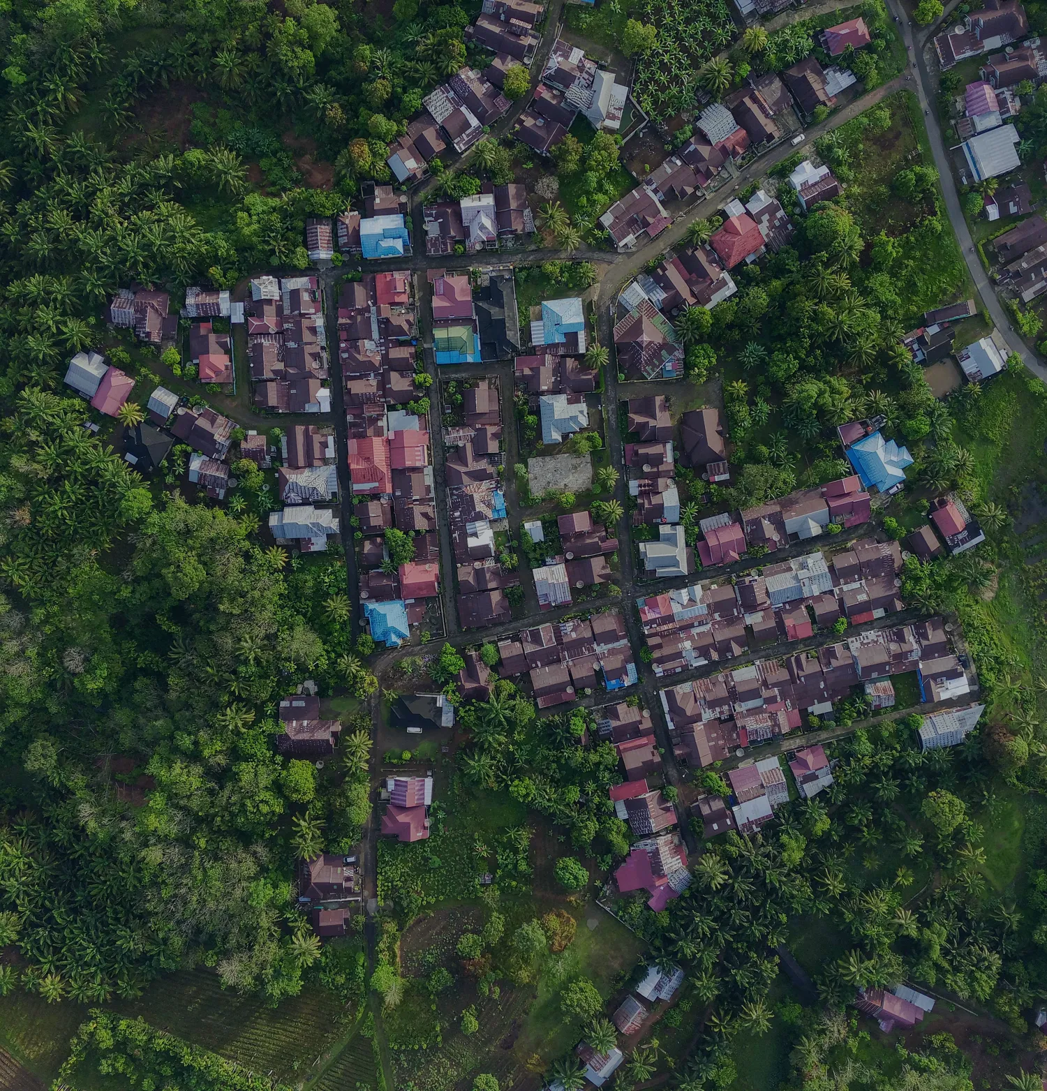
Drone mapping firms capture aerial imagery and spatial data used for surveying, modeling, and analysis. Deliverables may include maps, orthomosaics, point clouds, and site documentation.
Exposure is shaped by both data accuracy and how it is collected. Outputs are often relied upon for planning, design, and coordination.
Operations combine field activity with technical processing. We review both before making any recommendation.


Where Exposure Tends to Arise
How Risk Typically Presents in Drone Mapping Work
Aerial Data Capture
Accuracy depends on flight planning, equipment, and site conditions.
Processing & Output
Deliverables are shaped by how captured data is processed and interpreted.
Operational Activity
Drone use introduces physical and regulatory considerations during fieldwork.
Client Use of Deliverables
Outputs may be relied upon for planning, measurement, or coordination.
What We Place
Coverage Typically Considered for Drone Mapping Firms
Coverage is considered based on how your firm operates, the types of projects you take on, and how your contracts are structured. All coverage is subject to the terms, conditions, and limitations of the policy as issued.
General & Property Liability (BOP)
Helps respond when someone claims your business caused bodily injury or property damage.
Commercial Auto
For vehicles owned, leased, or used by the business.
Workers' Compensation
For covered employee injuries tied to work. This can include office injuries, travel-related work injuries, or incidents during job site visits.
Umbrella Liability
Sits above multiple underlying policies and responds when primary limits are exhausted.
Excess Liability
Extends the limits of a single underlying policy without changing its terms.
Builders Risk
Responds to physical loss or damage during construction. Standard property policies typically exclude this phase.
Cyber Liability
AEC firms carry more data exposure than most expect. Responds to costs from a covered cyber incident.

Worth Reviewing
How Data and Operations Are Defined
Agreements define deliverables and operational parameters for data collection. These terms influence how services are evaluated.
Projects may involve regulatory or site-specific flight restrictions. Clarifying responsibility for conditions, accuracy, and compliance is important before execution.
The Process
How We Approach It
From initial conversation to structured recommendation, every step is deliberate.
Step 1
Understand Your Operations
We review how flights are conducted, how data is captured, and how deliverables are produced.
Step 2
Review Existing Coverage
We assess current policies, including limits and exclusions, against how your services are performed.
Step 3
Align Coverage and Contracts
We consider how your coverage supports both your field operations and data outputs.
Common Gaps
Where Data and Field Activity Intersect
Exposure often develops where field conditions affect data capture. Weather or site constraints impacting flights, data representing a single point in time, or outputs used beyond their intended scope.
These situations often come down to how limitations and intended use were communicated.
Start the Conversation
Want to See How Your Program Holds Up?
Tell us about your firm and the work you take on.
We'll take a look and share what we find.